


Une obsession mondiale – Les bonbons gélifiés les plus étranges du monde dévoilés
Les bonbons gélifiés sont une friandise adorée dans le monde entier, appréciée par les enfants comme par les adultes. En Chine, l’emblématique Wangzai QQ Jelly règne en maître. Mais aux États-Unis, il existe un site web qui pousse les bonbons gélifiés à un tout autre niveau de bizarrerie : Vat19.
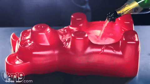
Découvrez l’ours en gélifié géant
L’une des créations les plus célèbres de Vat19 est l’ours en gélifié géant. Ce bonbon massif équivaut à 1 400 ours en gélifiés normaux et contient un énorme 6 120 calories. Ce n’est pas juste une collation—c’est un défi ! 

Mais ce n’est pas tout. Cet ours en gélifié peut également servir d’accessoire de fête. Vous pouvez l’utiliser comme porte-verre, bol à snacks, ou même comme support de gâteau. Une fois la fête terminée, vous pouvez le découper et le manger. C’est ce qu’on appelle le multitâche !
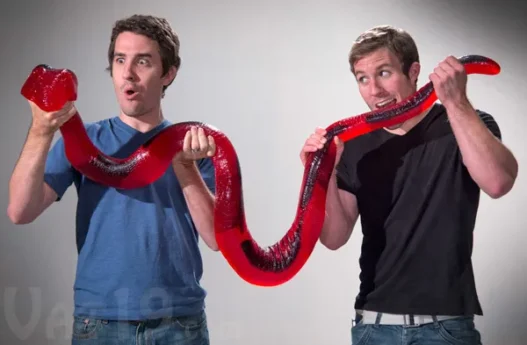
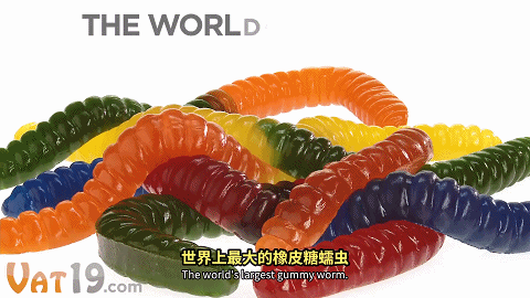
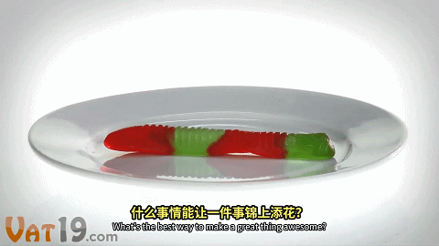
Le ver en gélifié le plus long du monde
Si vous pensiez que l’ours en gélifié géant était impressionnant, attendez de voir le ver en gélifié de 2 mètres de long. Ce bonbon est 128 fois plus grand qu’un ver en gélifié normal et est disponible en sept combinaisons de saveurs.
Les publicités pour ce ver en gélifié sont tout aussi excentriques que le produit lui-même. Vous pouvez l’utiliser comme bandeau, corde à sauter, ou même comme appât de pêche. Ou, vous savez, vous pouvez simplement le manger.
Serpents en gélifiés et plus encore
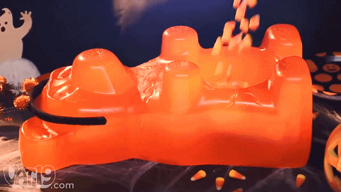
Vat19 ne s’arrête pas aux vers. Ils proposent également un serpent en gélifié qui s’étire jusqu’à 2,44 mètres—plus grand que Yao Ming ! Et pour ceux qui aiment les défis, il y a l’ours en gélifié le plus épicé du monde.
Un testeur a décrit cela comme une pure agonie, nécessitant du lait et de l’eau pour se remettre. Si vous êtes fan de nourriture épicée, cela pourrait être le test ultime de votre tolérance.

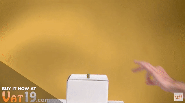
Au-delà des gélifiés : les produits excentriques de Vat19
Vat19 ne se limite pas aux gélifiés. Ils vendent également des articles bizarres comme :
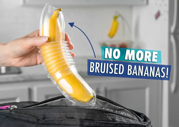
Protecteurs de bananes : Protégez vos bananes des ecchymoses.
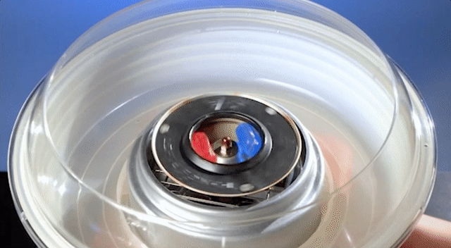
Machine à barbe à papa à bonbons durs : Transformez les bonbons durs en barbe à papa moelleuse.
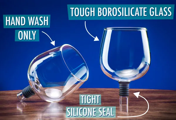
Verre à vin en bouteille : Buvez directement à la bouteille avec cette fixation de verre innovante.

Pourquoi nous aimons Vat19
Les produits de Vat19 sont un mélange de créativité, d’humour et de pur plaisir. Que vous cherchiez un cadeau unique ou que vous vouliez simplement essayer quelque chose de nouveau, ce site web a tout pour plaire. N’oubliez pas que, bien que leurs gélifiés soient amusants, ils sont également riches en sucre et en calories—alors consommez-les avec modération !

Conclusion : Un monde de bizarreries
Des ours en gélifiés géants aux défis épicés, Vat19 prouve que les bonbons peuvent être plus qu’une simple friandise sucrée. C’est une source de divertissement, de créativité et de surprises sans fin. Alors, si vous êtes prêt à explorer le côté excentrique des snacks, Vat19 est l’endroit où aller !